
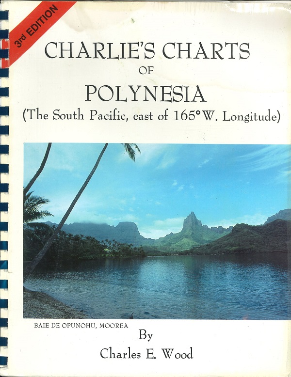
Description
The South Pacific, East of 165 Degrees West Longitude
Bound set of maps and cruising directions. 3rd Edition.
The cruising information covers:
- A general introduction for preparations for cruising and sightseeing in the area,
- Iles Marquises (The Marquesas Islands):
- Fatu Hiva, Tahuata, Hiva Oa, Ua Huka, Ua Po, Nuku Hiva, Northern Islets and Southern Islands.
- Archipel des Tuamotu, Iles Gambier, Pitcairn Island, Isla Pascua (Easter Island),
- Iles de la Societe:
- Iles du Vent (Windward Isles),Tahiti, Moorea, Huahine, Riatea and Tahaa, Bora-Bora,
- Iles Sous le Vent (Leeward Isles), Iles Australes.
- Cook Islands
- Niue,
- Hawaiian Islands.






Reviews
There are no reviews yet.