-

CK141
$24.00Paper Chart CK 141 (previously NZ 945) 01/19
Scale
Pukapuka – 1:100,000
Nassau – 1:75,000
Suwarrow – 1:100,000
Suwarrow Lagoon Entrance – 1:25,000
Manihiki – 1:75,000
Rakahanga – 1:50,000
Penrhyn – 1:75,000
Taruia Passage to Gudgeon Bay – 1:12,500
Penrhyn Taruia Passage – 1:6,000 -

CK142
$24.00Chart NZ 955 Plans of the Cook Islands – southern sheet (Aitutaki; Arutanga Anchorage; Palmerston; Mitiaro; Mauke; Manuae; Takutea; Atiu; Mangaia) – 03/19
-

CK242
$24.00Chart NZ 9558 Rarotonga (Approaches to Avatiu & Avarua Harbours; Avatiu Harbour) – 10/92
-
-
-

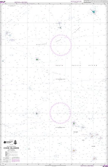
NZ14629
$24.00Chart NZ 14629 (INT 629) Samoa Islands to Northern Cook Islands and Tokelau – 04/97
Scale – 1:1,500,000
-
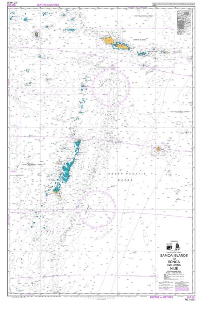
NZ14631
$24.00Chart NZ 14631 (INT 631) Samoa Islands to Tonga including Niue – 04/97
Scale – 1:500,000
-
-
NZ8685
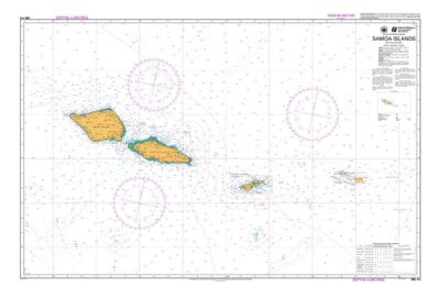
$24.00Chart NZ 8685 Islands in American Samoa (PagoPago Harbour; Swains Island; Tutuila Island; Manua Island; Rose Atoll) – 10/93
-

-
-
