-

NP 131 ADMIRALTY CHART CATALOGUE
$250.00- British Admiralty
- Spiral Bound
- 420mm x 600mm
- 2.19 kg
- 2025 Edition
-

-
-
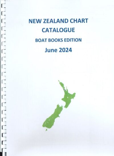
NZ 202 CHART CATALOGUE
$5.00Index and reference to the many official charts published by Land Information New Zealand for New Zealand and surrounding ocean waters in the South West Pacific.
As this is no longer published by Land Information New Zealand in hard copy, we have compiled our own catalogue/listing Publication.
-
-
-
-
-
-

-
-
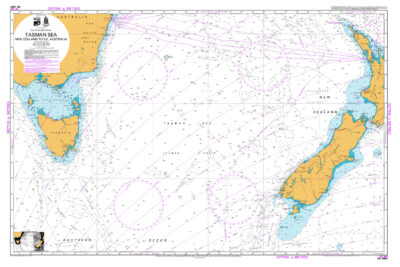
NZ14602
$24.00Chart NZ 14602 (INT 602) Tasman and Coral Seas, Australia to Northern New Zealand and Fiji – 07/07