Description
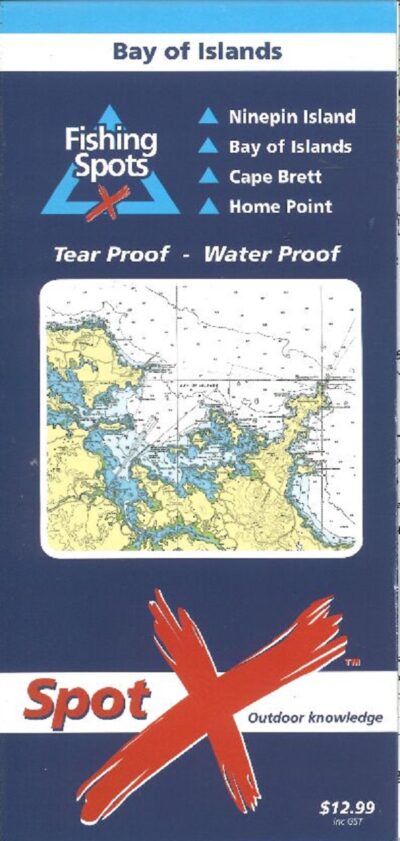
Hydrographic chart covers Whangaparaoa Peninsula in the north, Waitemata Harbour, Rangitoto Island, The Noises and Western Waiheke Island in the south.
39 fishing spots reviewed with GPS marks, illustration of recommended boat position, target species, bait, rig and best conditions with fishing technique tips.
Chart includes a review on local boat ramps and the location of camp grounds, public toilets and marina’s.



Reviews
There are no reviews yet.