Description
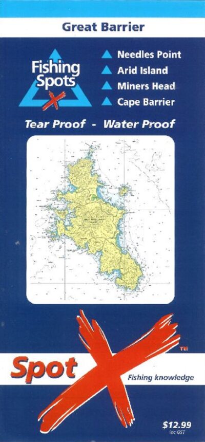
These charts tell you exactly (by way of GPS coordinates) where to go and what the best fishing conditions are in particular places, which species of fish you are most likely to catch and the best positioning of your boat in these spots. It also rates local boat ramps, from 5 stars (Outstanding) down to 1 star (Single ramp, Limited facilities).
As well as Great Barrier Island, this chart also includes:
- Needles Point
- Arid Island
- Miners Head
- Cape Barrier


Reviews
There are no reviews yet.