Description
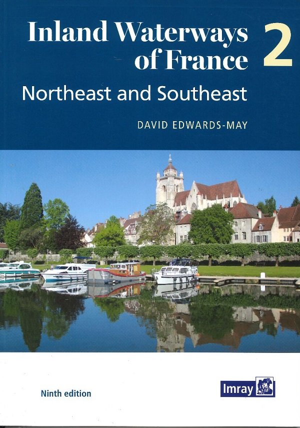
Volume 2 covers cruising the 2,500 kilometres of waterways from the northeast – the cross-border rivers Meuse, Moselle, Sarre and Rhine – to the Mediterranean.
Detailed maps of 40 key sites, towns, and junctions, and overview maps for each waterway.


Reviews
There are no reviews yet.